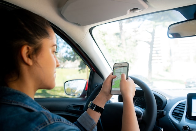
Most people believe that their smartphone determines their location using GPS. However, smartphones can estimate locations using a combination of cellular networks, Wi-Fi, Bluetooth signals, motion sensors, barometers, and other environmental clues. In many situations, these technologies can provide a useful location estimate even when satellite signals are blocked, weak, or unavailable.
Apple’s Location Services system can use cellular networks, Wi-Fi, GPS and Bluetooth to determine a device’s location. Google’s Android Location Accuracy system similarly combines Wi-Fi access points, cellular towers, GPS and sensors such as accelerometers, gyroscopes and barometers. Patrick Putman of Alabama explains that phones do not necessarily need to connect to a GPS satellite to have a pretty good idea of where it is.
Your Cell Phone Is Constantly Talking to Cellular Networks
One of the oldest alternatives to satellite positioning is the cellular network.
Your smartphone communicates with nearby cell towers so that you can make calls, send messages and use mobile data. Those connections also provide information that can help establish an approximate location.
Every cellular tower covers a particular geographic area, and networks know where their towers are located. If a phone is communicating with a particular tower, the network has at least some information about the general area where the device is operating.
The estimate becomes more useful when a device can detect multiple towers. Android products specifically utilize cellular networks as one of the wireless sources used by Location Accuracy. Google’s lower-power location options can rely largely on cell towers when GPS and Wi-Fi are not being used, producing a more coarse, city-level estimate.
The important point is that cellular location does not require the phone to calculate its position from satellites. The cellular infrastructure itself becomes part of the positioning system.
Wi-Fi Networks Can Act Like Digital Landmarks
Wi-Fi is even more interesting because it can sometimes provide a surprisingly detailed location estimate. When your phone scans for nearby wireless networks, it can detect information about surrounding Wi-Fi access points. The phone does not necessarily need to connect to those networks. Their presence can provide clues about where the device is.
Why?
Because Wi-Fi access points tend to stay in relatively fixed locations. Over time, companies such as Apple and Google can build databases associating wireless access points with geographic locations. When a phone encounters several known Wi-Fi networks, it can compare what it sees against those databases and estimate where it is.
Google describes this process as crowdsourcing information about wireless signals. For example, devices can observe a Wi-Fi access point and, when appropriate location information is available, help associate that access point with a geographic area. Apple describes a similar system, explaining that its Location Services uses crowd-sourced Wi-Fi hotspot and cell-tower locations to improve positioning.
This is one reason your phone can sometimes figure out where you are very quickly after entering a building, even when satellite signals are weak.
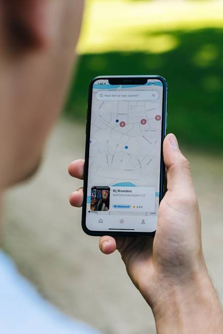
Your Phone Does Not Have to Connect to Wi-Fi
There is an important distinction between using Wi-Fi for internet access and using Wi-Fi signals for positioning. Your phone can detect nearby wireless networks without actually joining them.
Imagine walking through a shopping center. Your phone might detect several wireless access points belonging to different stores, restaurants or the building itself. If those access points have already been mapped geographically, their combination creates a kind of digital fingerprint.
The phone can compare the wireless environment around it with known information.
This is somewhat like recognizing a neighborhood by its landmarks. You do not need to enter every building to know where you are. Seeing the particular collection of buildings around you can be enough.
Research has demonstrated how useful Wi-Fi can be for positioning, although accuracy varies considerably depending on the environment and methodology. A study published in PLOS ONE compared GPS-only positioning with GPS plus Wi-Fi and found that Wi-Fi-assisted positioning produced errors ranging from very small values to several dozen feet under the study conditions.
That variability matters. Wi-Fi positioning is not magic, and it is not automatically accurate to within a few feet. Its performance depends on how many recognizable access points are nearby, how accurately their locations are known and how the surrounding environment affects radio signals.
Bluetooth Can Help Pinpoint Indoor Locations
Bluetooth provides another source of positioning information.
You often encounter Bluetooth transmitters in stores, airports, stadiums, museums, hospitals and other large facilities. These small devices, commonly called Bluetooth beacons, can broadcast signals that nearby smartphones can detect.
Research into Bluetooth Low Energy positioning has produced impressive results under controlled conditions. One study testing smartphone-based indoor localization found that a system using densely deployed Bluetooth Low Energy beacons achieved an accuracy of less than 2.56 meters 90% of the time.
This should not be interpreted as meaning every smartphone can automatically locate itself within four feet using Bluetooth. The experiment involved deliberately positioned beacons and a specific positioning system.
Instead, the research demonstrates an important principle: short-range radio signals can become highly effective positioning references when their locations are known.
Your Phone’s Motion Sensors Fill in the Gaps
Radio signals are only part of the story. Your smartphone also contains sensors that can tell it how the device is moving.
- An accelerometer measures acceleration.
- A gyroscope measures rotational movement.
- A magnetometer helps determine orientation relative to Earth’s magnetic field.
- A barometer measures atmospheric pressure and can provide information useful for estimating changes in elevation.
These sensors help the phone understand how it is moving from one known or estimated position to another.
A Barometer Can Help With Elevation
One of the less obvious tools inside a smartphone is the barometer, which measures atmospheric pressure. Because atmospheric pressure generally decreases as elevation increases, changes in pressure can provide clues about vertical movement.
A pressure sensor can provide an additional clue. Google specifically lists barometer data among the sensor information that can contribute to Android Location Accuracy, including location estimates that may incorporate elevation or floor-level information.
The barometer does not function as an independent indoor GPS system. Atmospheric pressure also changes because of weather and other environmental conditions. Instead, it becomes another piece of information that can be combined with other measurements.

Your Phone Can Estimate Movement Even When Signals Change
Location systems also benefit from something called sensor fusion. Instead of trusting a single measurement, the phone combines multiple imperfect measurements to create a better estimate. This is why the location marker on your phone can continue moving smoothly even though the underlying measurements are not perfectly continuous.
Apple’s Core Location framework describes this approach explicitly. It can use Wi-Fi, cellular and GPS hardware and selectively activate the resources needed to obtain location information while managing power consumption. Apple’s documentation also describes a significant-change location service that can use cellular and Wi-Fi radios without GPS to detect substantial changes in location.
Location Is Often a Combination, Not a Single Technology
The biggest misconception about smartphone location is that there is one system responsible for finding you. In reality, modern location technology works as a team. The operating system can decide which combination makes sense for the situation. That flexibility is important because every technology has weaknesses. Together, however, these systems can compensate for one another.
Does Turning Off GPS Stop Your Phone From Knowing Where It Is?
Not necessarily.
The terminology can be confusing because “GPS” and “location services” are not the same thing. A phone can have satellite positioning disabled or unavailable while still having access to other sources of location information. Android, for example, distinguishes between different location settings and allows Wi-Fi and Bluetooth scanning to contribute to location estimates. On iPhones, Apple’s Location Services can draw from cellular, Wi-Fi, Bluetooth and GPS information.
There is also an important privacy distinction: a phone knowing its approximate location is not automatically the same as every app knowing it.
Both Apple and Android provide controls governing which applications can access location information. Apple allows users to review and revoke location permissions, while Android provides app-level location controls and options such as approximate rather than precise location.
Your Location Is Really an Estimate Built From Evidence
The most accurate way to think about smartphone location is as a system that gathers and combines countless pieces of evidence to determine where you are. As smartphones become increasingly dependent on contextual computing, this kind of location awareness will become even less visible to users. The phone does not need to announce which sensor or radio produced each clue – it simply uses the information available to make the best estimate it can.
And that is perhaps the most interesting part of smartphone location technology: your phone does not need one perfect signal to know where you are. It can get there by combining many imperfect ones.